Mapping Carnac

Friday 5 September - 14h35
Directed by: Pierre de Parscau
Year: 2024
Screening: French
Production: CNRS Images, Animal Pensant
Scientific advisory board: Vincent Ard
running time: 7'
Country: France
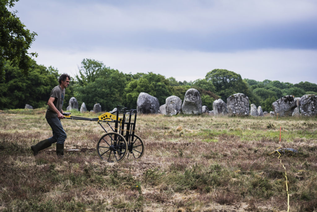
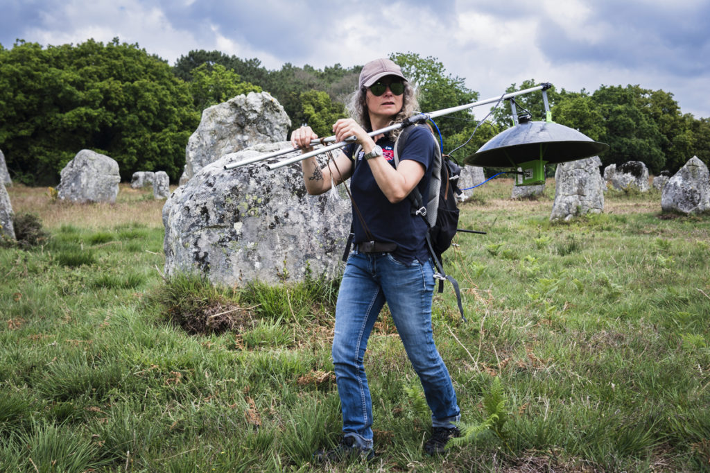
Who built the Carnac alignments, and why? A team of archaeologists and geophysicists are mapping the subsoil of the Neolithic site of Carnac, in search of buried menhirs, quarries, ditches and traces of settlements. Using innovative, non-invasive technologies such as magnetometers and flying radar, they hope to better understand the context in which the alignments were created and the way of life of these building populations.